


LiteSurvey GPS User Stories
Property boundary surveying and enforcement
A local land management bureau had trouble settling property border disputes because they lacked funds and expertise to equip a sufficient number of survey-grade RTKs. By supplying their divisions with LiteSurvey GPS, every officer gained easy access to decimeter-accuracy position on their smartphones. Their success quickly spread and LiteSurvey GPS has become a staple for land management in many provinces.
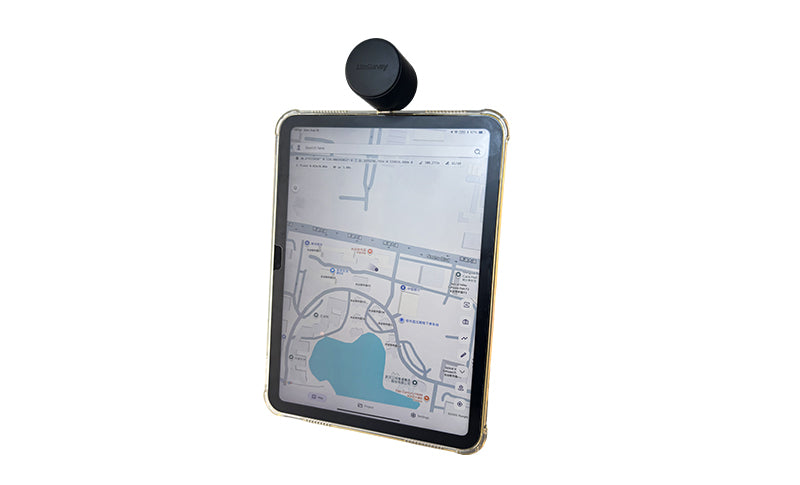
Historical building surveying
During the fourth census of protected historical buildings in Shengzhou city, LiteSurvey GPS was used to mark building perimeter and points of interests. Even under challenging conditions, such as building corners under trees, LiteSurvey GPS was able to achieve a fixed RTK position solution.
