LiteSurvey GPS User Stories

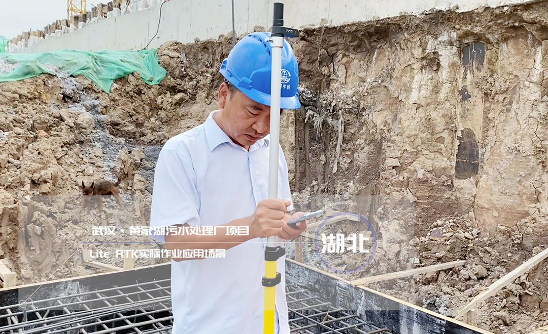
Wastewater treatment plant construction
LiteSurvey GPS made construction surveying tasks lighter and easier. The surveying department manager told us, "Previously, I had to carry a heavy RTK case and rush between multiple construction sites every day. Now every construction team leader carries a LiteSurvey GPS in their pocket and they can handle all basic surveying tasks. I verified their results and they were almost always spot-on.”

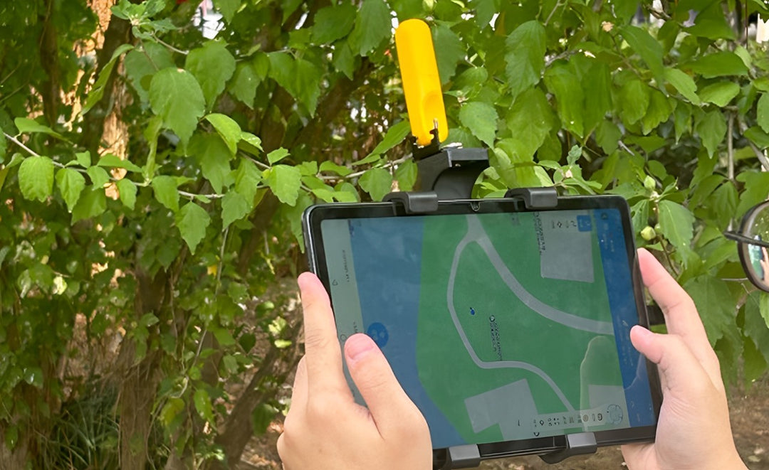
Property boundary surveying and enforcement
A local land management bureau had trouble settling property border disputes because they lacked funds and expertise to equip a sufficient number of survey-grade RTKs. By supplying their divisions with LiteSurvey GPS, every officer gained easy access to decimeter-accuracy position on their smartphones. Their success quickly spread and LiteSurvey GPS has become a staple for land management in many provinces.

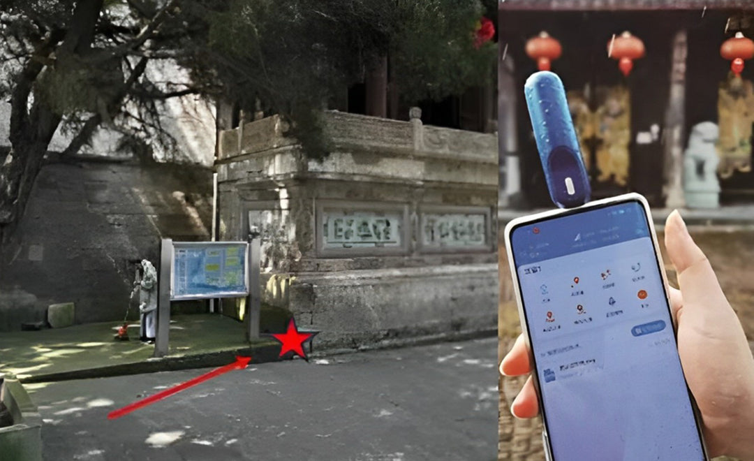
Historical building surveying
During the fourth census of protected historical buildings in Shengzhou city, LiteSurvey GPS was used to mark building perimeter and points of interests. Even under challenging conditions, such as building corners under trees, LiteSurvey GPS was able to achieve a fixed RTK position solution.

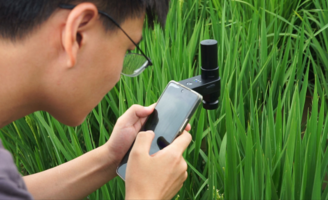
Crop characterization in smart agriculture
Prof. Dr. Jin at Nanjing Agricultural University incorporated LiteSurvey GPS in his crop development project. His team members look for individual crops with special characteristics, such as early flowering and short stature, and use LiteSurvey GPS to mark their positions. Thanks to LiteSurvey GPS's centimeter accuracy, they can easily find the marked crops and observe them at each stage of their growth cycle.


